 Geobru catalogue
40 cm
Type of resources
Available actions
Topics
INSPIRE themes
Provided by
Years
Formats
Representation types
Update frequencies
Resolution
-
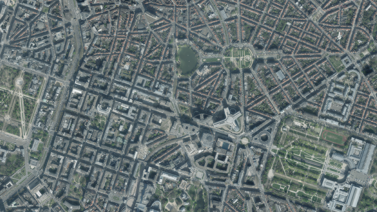
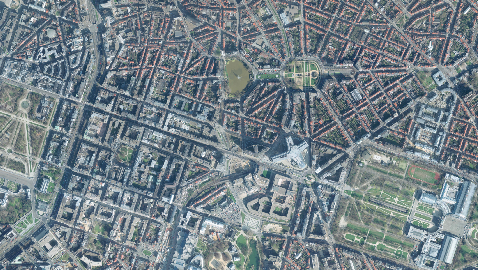
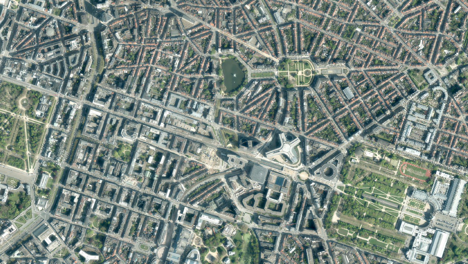
The orthophotos of the Brussels-Capital are made on the basis of large-scale aerial photographs. This orthophoto covers the whole territory of the region. Orthophotos available from 2014.
-
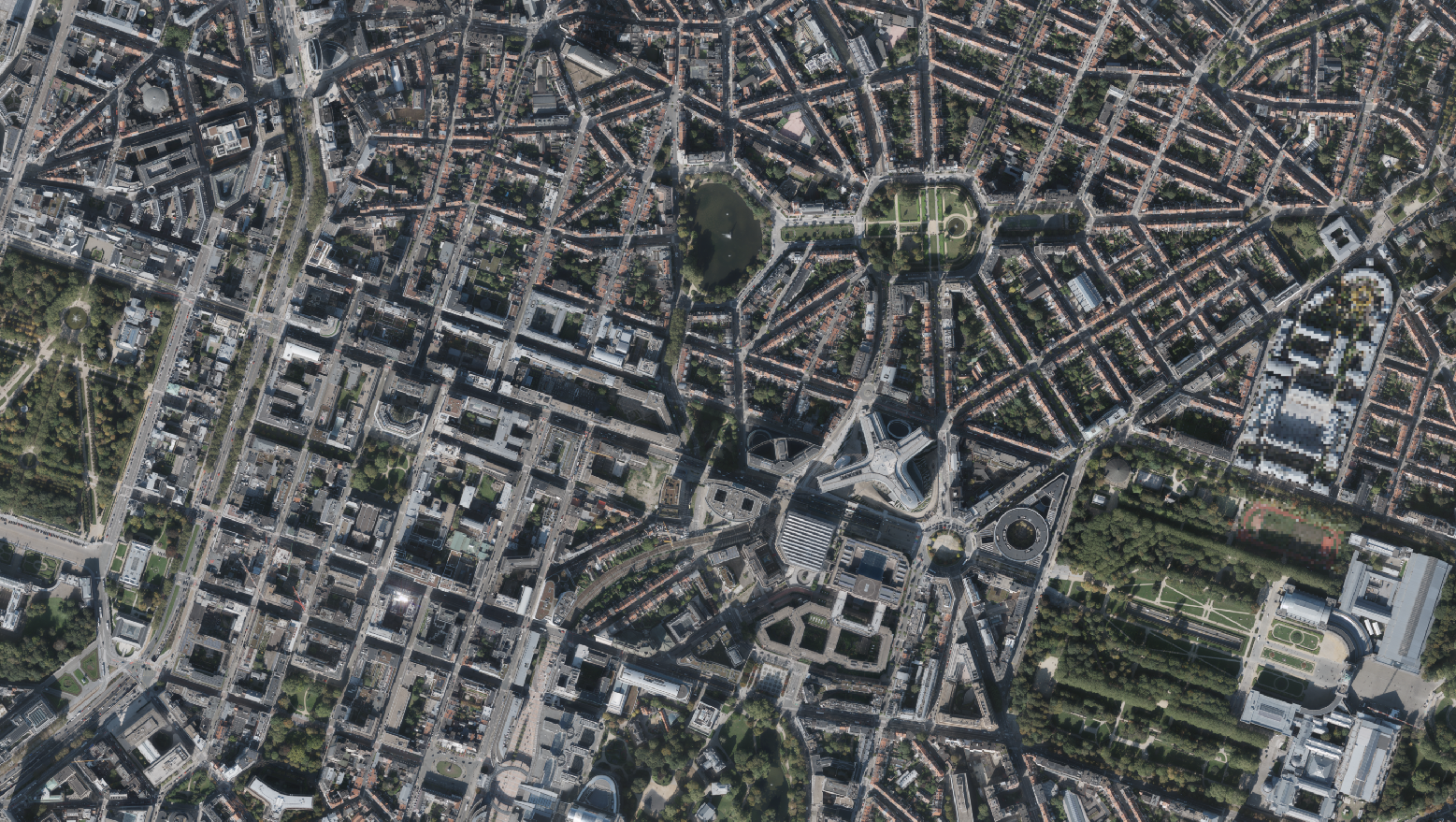
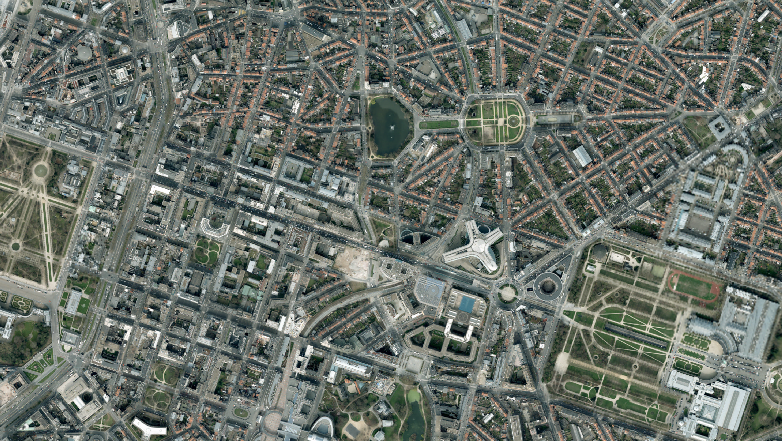
This dataset includes the RGB (Red, Green, Blue) orthophotos created in 2018. The images cover the entire Brussels Capital Region, with a resolution of 5 centimeters.
-
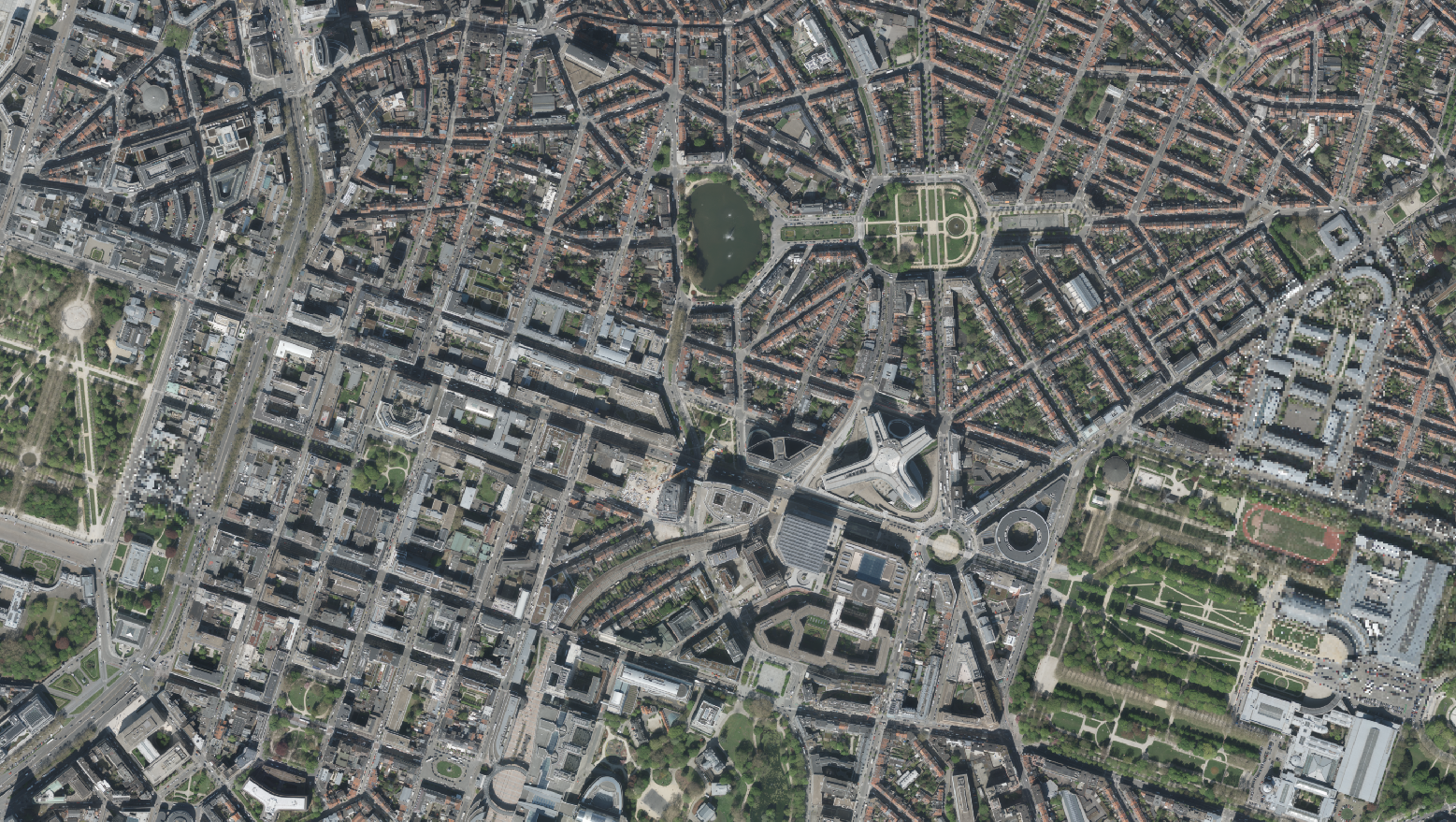
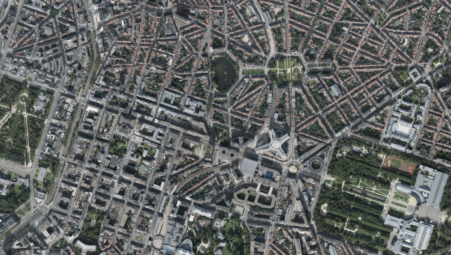
This dataset includes the RGB & NI (Red, Green, Blue and Near-Infrared) orthophotos created in 2021. The images cover the entire Brussels Capital Region, with a resolution of 5 centimeters.
-
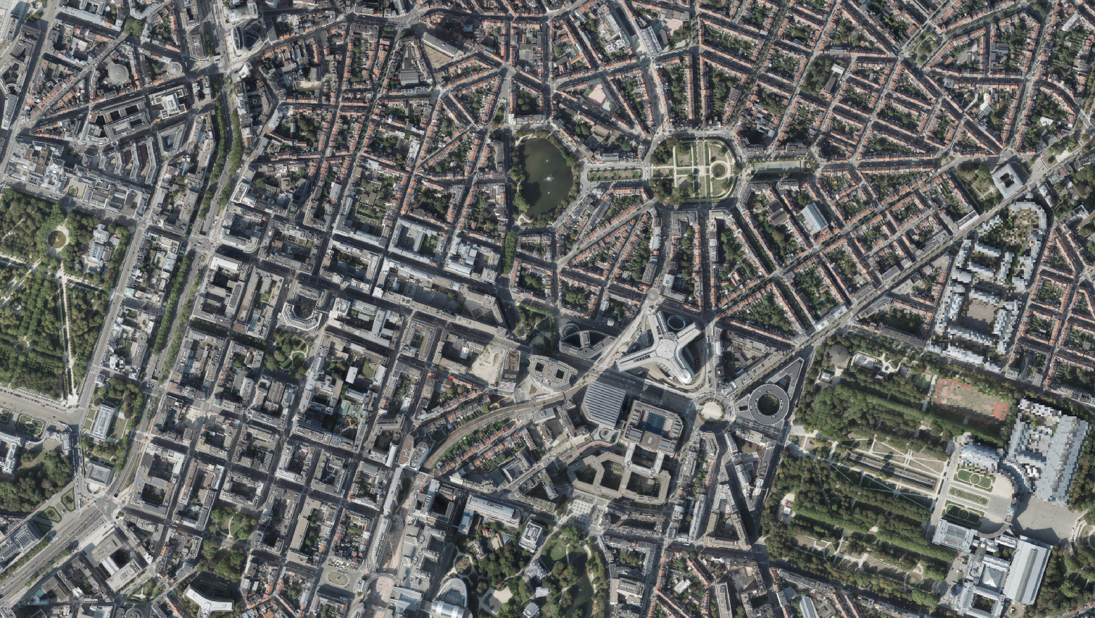
This dataset includes the RGB (Red, Green, Blue) orthophotos created in 2018. The images cover the entire Brussels Capital Region, with a resolution of 5 centimeters.
-
Brussels-Capital Region : the orthophotos of the Brussels-Capital are made on the basis of large-scale aerial photographs. This orthophoto covers the whole territory of the region. Orthophotos available from 2016.
-
The orthophotos of the Brussels-Capital are made on the basis of large-scale aerial photographs. This orthophoto covers the whole territory of the region. Orthophotos available from 2004.
-
The orthophotos of the Brussels-Capital are made on the basis of large-scale aerial photographs. This orthophoto covers the whole territory of the region. Orthophotos available from 2015.
-
This dataset includes the RGB & NI (Red, Green, Blue and Near-Infrared) orthophotos created in 2021. The images cover the entire Brussels Capital Region, with a resolution of 5 centimeters.
-
This dataset includes the RGB & NI (Red, Green, Blue and Near-Infrared) orthophotos created in 2020. The images cover the entire Brussels Capital Region, with a resolution of 5 centimeters.
-
The orthophotos of the Brussels-Capital are made on the basis of large-scale aerial photographs. This orthophoto covers the whole territory of the region. Orthophotos available from 2016.